
As-Builts and Existing Utility Information After Construction
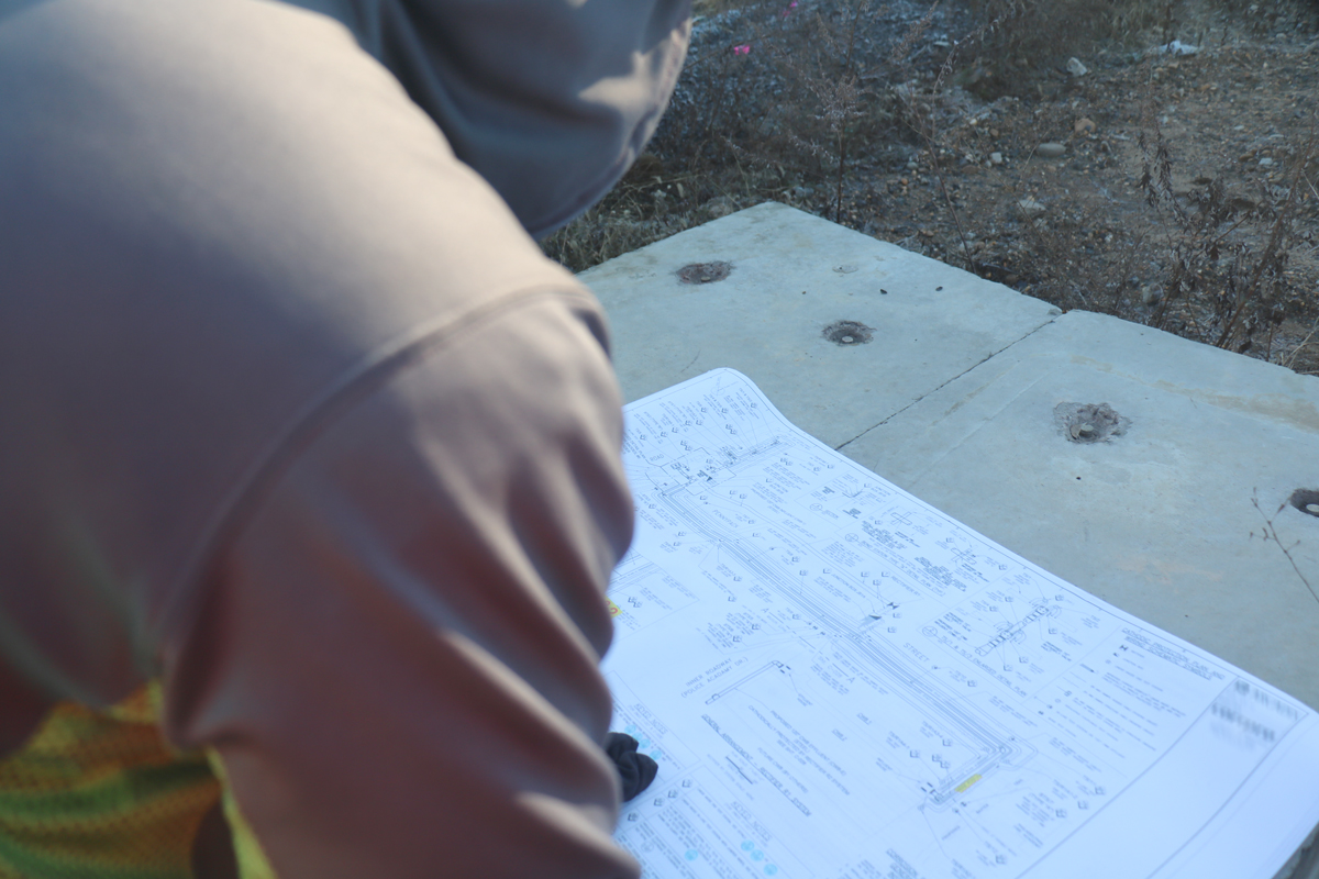
What Are As-Built Drawings?
As-built drawings are a key piece in the construction process. These drawings are intended to show the completed state of a project in a drawing form to show future developers, renovators and contractors the work that has been performed. They’re also intended to be a certified legal document that proves that work was completed as intended. Final as-builts should show what has been built, assist facilities teams for work on existing buildings, and allow for renovations to be easily performed. As-builts are meant to be a record of everything that occurred at a site throughout construction. If this is the case, then why are as-builts not always the go-to source for finding out information about utilities? Why are there so many systems set up to determine the existence of utilities if we know where utilities are meant to be installed? How can these inaccuracies be corrected?
Why Aren't As-Builts Reliable for Utility Locations?
For starters, as-built plans aren’t always updated throughout the project process to show every step – sometimes they’re only put together at the end of construction. There are many steps in construction. With utility systems, it’s easy to forget about what was buried and where since they’re usually unseen. Utility maintenance is usually achieved through access points – such as manholes, electrical boxes, and cleanouts. Renovations, expansions and adjustments don’t always update these drawings when something is changed. We’ve seen as-built drawings where utilities enter buildings at completely different angles than illustrated. In one case, the utilities were shown entering a building at a right angle on the as-built plans. Instead, it entered the building at a diagonal. How did this happen? Perhaps the original drawing was accurate and a utility relocation never updated the original building plan, or perhaps the as-built was inaccurate the entire time. While this may seem inconsequential to a builder for something that won’t be seen from the surface, it could spell danger for others performing work later on.
Record Keeping Issues with As-Builts
There isn’t a uniform system for keeping as-builts easily accessible to all contractors who may work at a site – even if the final drawings are 100% accurate, they’d be useless if they can’t be accessed. Sometimes the only thing available is a heavily photocopied document from decades prior or physical sketch. Sometimes, plans may be completely lost or destroyed if they were only ever stored as physical documents. Documents now are mostly digitized, but there’s also different ways of storing digital information – which can also be lost if not backed up properly. Communication, record keeping, and regular refreshers are key ways to ensure your building information stays accurate.
Quality Level D Subsurface Utility Engineering Data
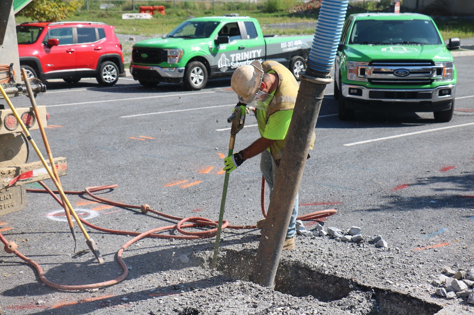
As-built drawings typically fall under Level D subsurface utility engineering data as a result of the risk of inaccuracy. There are ways to protect existing buried lines. One is creating a new record of existing utilities by investigating utility infrastructure. Using non-destructive electromagnetic and GPR technologies with a site investigation can give you a much better idea of existing utilities. If you need even further information, using vacuum excavation can provide you with the accurate depth and exact location of the line. This level of information can be plotted using survey equipment to guarantee accuracy for your next project.
If your team needs to understand their utilities and get accurate information, our team at Trinity Subsurface provides underground utility investigation to supplement your existing as-built information. Check out the rest of our website to find out more information on how we can help you understand what’s underneath on your next project.


