

The Benefits of GIS Utility Mapping
Utility locating identifies what’s underneath the surface at the time of the survey. A geospatial information system, also known as GIS, uses software to store knowledge regarding geographic data with high-accuracy and precision. This level of advanced mapping primarily focuses on latitude and longitude as a baseline to map out specific data points. When it comes to mapping out utilities, there are several benefits to using GIS technology.
Differences Between PDF Deliverables and GIS Mapping
Traditional PDF deliverables focus on ensuring that utilities aren’t struck during construction, renovation or excavation projects. Putting these deliverables together involves high-level subsurface utility investigations in the field using electromagnetic scanning, ground penetrating radar and vacuum excavation.
The main difference between a PDF map and GIS mapping is scale and documentation. A PDF utility map deliverable is often not-to-scale and is a static map of underground utilities and structures, which is incredibly valuable for protecting underground structures. GIS mapping that allows for further digitization of collected information by taking utility data and incorporating it into other maps for planning purposes.
What Can Be Captured with GIS Data Points
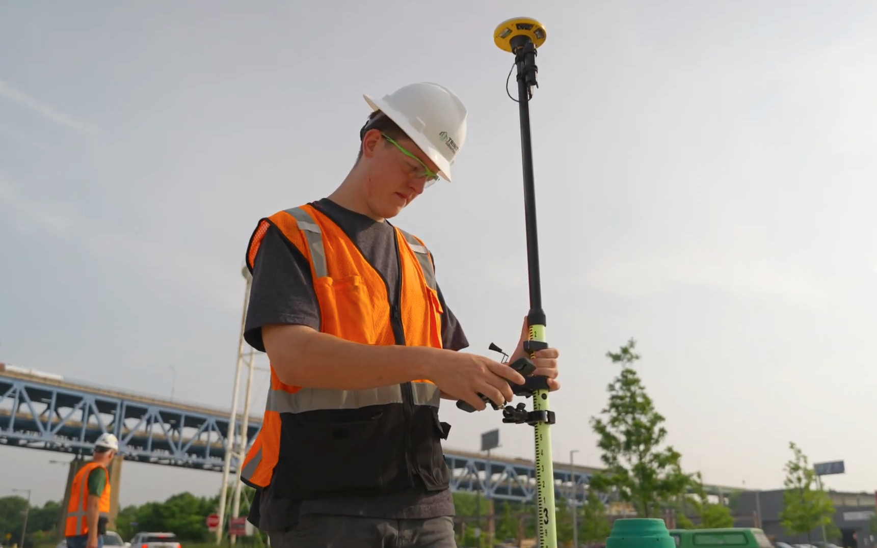
Trinity offers sub-foot GIS data point shooting with high-accuracy GNSS (Global Network Satellite System) equipment with global coverage. This allows for highly accurate records for surface features and located utility data points to be added and incorporated into existing maps. Some mapping software also allows for collection of satellite data to evaluate the quality of field conditions for GIS data capture.
GIS utility data can be combined with other GIS datasets, such as maps of buildings, roads, natural features and other existing infrastructure. This makes it easier for project managers, engineers, facility maintenance teams and contractors to share information among their teams.
In addition, photos and notes can be added to each collected data point, which can be used to document the size of pipes, depth, material, utility ownership and more. All of this information can be incorporated into web/mobile apps, ArcGIS layers, shapefiles, KMZ files, CAD maps and even back into PDFs.
With this advanced mapping, existing utility information can also be updated as systems are installed, previously unknown utilities are uncovered, and additional areas are investigated. Notes can be added as new information is recorded and shared among teams.
What GIS Maps Provide
What GIS provides is an adaptable record of existing and ongoing work that can be used and reused for planning, maintenance, construction and decision planning. This information can be incredibly useful for facility expansion projects, campus-wide utility management, emergency maintenance needs for record review, and coordination with outside contractors to quickly pull up data.
Paint markings can disappear and up to date project files can be difficult to determine as projects develop. While GIS maps will always need to be updated with new information as time goes on, they can greatly reduce the chances of utility information being lost, miscommunicated, or spread across different teams working together with proper integration into project workflow.
Our team at Trinity Subsurface can provide utility locating, subsurface utility engineering, pipe inspections and mapping to fully understand what’s underneath your site and provide the information in PDF, CAD and GIS formats best suited for your project needs. Visit our website to find out more.
Need it on your site? Request a proposal or call (855) 387-4648.


